
The Subterranean Heritage Beneath Medina Nogalte
Above Puerto Lumbreras, the sandstone slopes rise toward the remains of the medieval Islamic Castillo de Nogalte and its cave houses. The hill stands where the Rambla de Nogalte meets the Guadalentín Valley, a landscape shaped by seasonal water, long-distance routes, agriculture, and the demanding climate of southeastern Spain. From the valley floor, the fortress appears to crown the ridge. Look more closely, however, and another layer of history becomes visible beneath it: a network of dwellings cut directly into the hillside.
These caves were not simply shelters excavated into rock. Over centuries, they formed a domestic neighborhood whose rooms, terraces, chimneys, storage spaces, and working areas responded closely to local geology and social needs. The settlement developed below a former frontier stronghold, changing from a landscape associated with defense into a communal residential quarter. Today, restored caves and interpretation spaces offer an unusually direct encounter with vernacular architecture, showing how families used modest tools, local materials, and inherited knowledge to create comfortable homes in an arid environment.
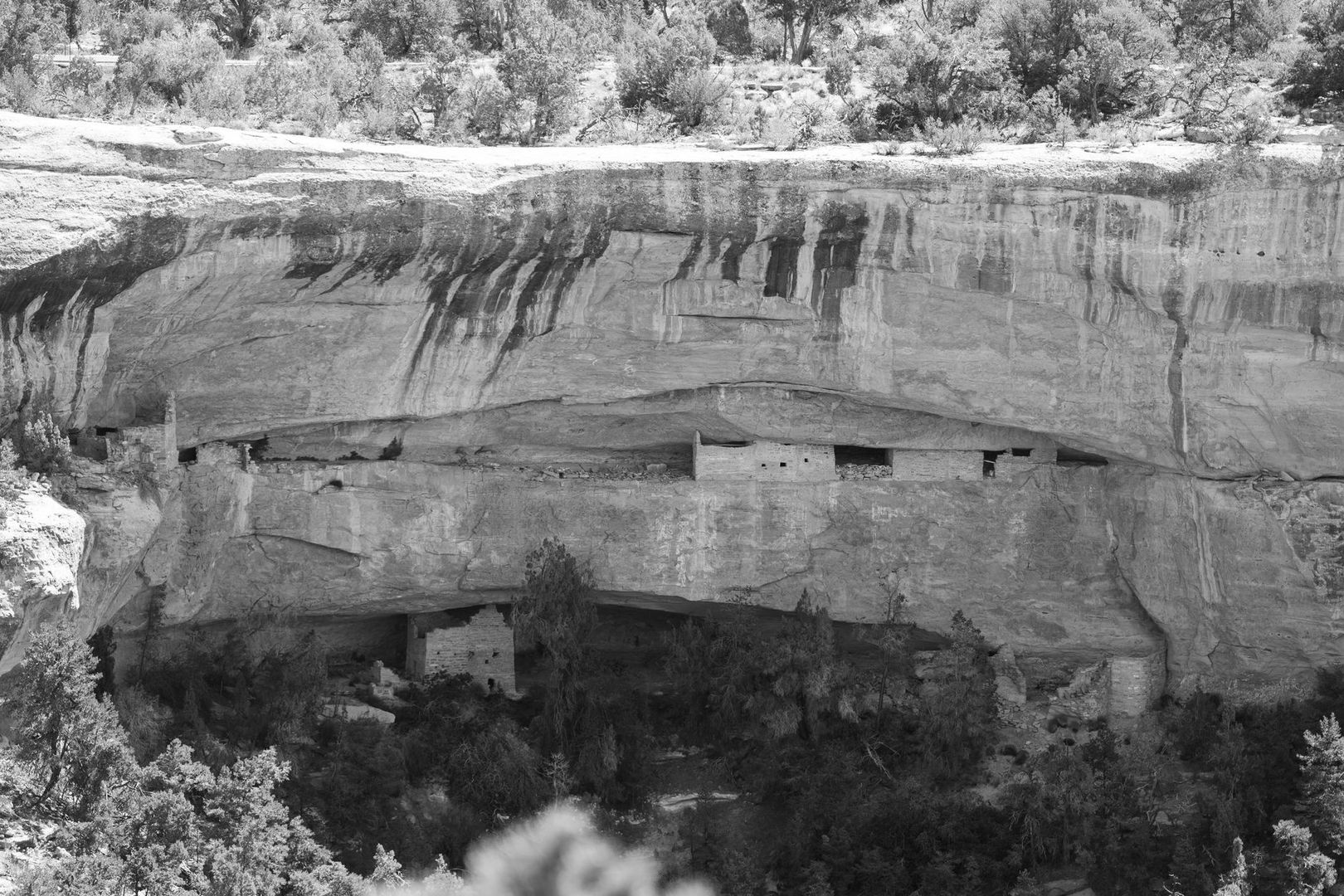
Guardians of the Valley and Early Hillside Settlement
The origins of Medina Nogalte are tied to strategy. The Islamic fortress was built between the twelfth and thirteenth centuries on a mountain spur with commanding views over the Rambla de Nogalte and the Guadalentín Valley. From this position, authorities could monitor natural routes connecting the Levant with Andalusia and oversee movement toward Murcia, Granada, and Almería. The castle also had practical value as a place connected with water sources, agricultural communities, storage, and refuge during periods of insecurity.
Archaeological evidence indicates that the hill had been occupied before the Islamic period, including connections with the Bronze Age landscape associated with the nearby Argaric settlement of Barranco de las Cuevas. The visible remains mainly belong to the medieval Islamic phase. The upper enclosure was probably constructed during the first half of the thirteenth century and may have served as a fortified granary for rural communities. After the Christian conquest, the fortress was expanded and adapted, with a lower enclosure, altered defensive structures, and an orientation increasingly influenced by the Nasrid frontier.
The later cave settlement grew in the shadow of these military remains. Although the caves visible today are especially associated with eighteenth-century and later occupation, their location reflects the practical logic of the hillside. The slopes offered accessible rock, proximity to the fortress and valley routes, and opportunities to build without importing large quantities of timber, brick, or stone. The history of the site can be understood through several overlapping stages:
- Frontier control: the castle watched routes, water, and movement across the valley.
- Rural protection: fortified storage areas and enclosures supported nearby agricultural communities.
- Civilian expansion: families increasingly occupied excavated spaces on the slopes below the fortress.
- Community formation: the caves became a recognizable neighborhood with shared outdoor areas and domestic traditions.
- Heritage preservation: restored dwellings now interpret the relationship between castle, landscape, and everyday life.
Vernacular Engineering and Natural Sandstone Living
The cave houses of Puerto Lumbreras were created through a form of construction that was both subtractive and adaptable. Instead of assembling walls from separate materials, residents removed material from the hillside to form rooms. Soft or ductile sandstone could be worked with relatively simple tools, allowing households to enlarge an existing dwelling gradually. A first chamber might provide sleeping or living space, while later excavations created additional rooms, alcoves, storage niches, animal areas, or routes toward a new entrance.
This approach required careful judgment. The rock had to be soft enough to cut but stable enough to support the roof and surrounding hillside. Chimneys and ventilation shafts helped remove smoke from cooking fires, while doorways and small openings brought in light and air. Interiors were generally functional rather than spacious or richly decorated. Many rooms were small, and natural lighting was limited, but the underground position offered a major environmental advantage. The surrounding rock acted as thermal mass, slowing the movement of heat between the exterior and interior.
Descriptions of the local cave houses commonly place indoor temperatures at approximately 18 to 20 degrees Celsius through much of the year. This should be understood as a general heritage interpretation rather than a guarantee for every room or season, since orientation, ventilation, occupancy, and later modifications affect conditions. Even so, the contrast with the exterior climate is significant. In summer, the thick sandstone reduced the impact of intense midday heat. In winter, it helped moderate the chill of exposed surfaces and open streets.
| Feature | Practical effect |
|---|---|
| Excavated sandstone chambers | Reduced the need for conventional wall-building materials and allowed gradual expansion. |
| Rock surrounding the rooms | Provided thermal stability compared with the rapidly changing outdoor temperature. |
| Chimneys and shafts | Removed smoke and supported air circulation around cooking and domestic work. |
| Entry terraces | Created brighter outdoor working and social areas in front of the darker interiors. |
| Alcoves and storage niches | Made efficient use of available space for food, tools, household goods, and seasonal equipment. |
The environmental intelligence of this architecture is not unique to Murcia. Research into troglodytic traditions elsewhere, including a study of underground architecture in Matmata, southeastern Tunisia, similarly identifies excavation, thermal moderation, and local adaptation as important sustainable design strategies. Medina Nogalte should not be treated as an identical example, but the comparison helps explain why subterranean building has attracted renewed architectural interest. These houses demonstrate that comfort can be achieved through a close reading of geology, sun, wind, and available resources.
Twentieth-Century Life Inside the Barrio de las Cuevas
By the twentieth century, the Barrio de las Cuevas had become an active working-class community rather than a collection of isolated chambers. More than 140 cave homes were once occupied, and daily life extended well beyond the enclosed rooms. The front terraces, paths, and shared spaces were essential to the neighborhood. Interiors could be narrow and dim, so cooking, repairs, social exchanges, and many forms of manual work often took place outside beneath the bright southeastern light.
The homes reflected a practical household economy. Animals could be kept close to the family, fires were used for cooking, and chimneys carried smoke through the rock. Storage was carefully organized, with niches and adjoining rooms serving different purposes. Families expanded their dwellings when circumstances allowed, creating a domestic landscape that recorded changes in household size and economic activity. A cave was therefore not a fixed architectural object. It was a living structure that could be modified over generations.
Community identity was also expressed through appearance and custom. Whitewashed entrances helped brighten the facades and gave the hillside a coherent visual character. Shared terraces functioned as workspaces, meeting places, and extensions of the home. Traditional crafts, including esparto weaving, connected household routines with the wider rural economy of the Guadalentín Valley. Important elements of this way of life included:
- Outdoor work areas that compensated for limited light inside the caves.
- Shared paths and terraces that encouraged neighborly contact.
- Domestic production involving food preparation, repairs, weaving, and agricultural support.
- Close relationships between homes, animals, water infrastructure, and local markets.
- Practical knowledge passed between generations, especially regarding excavation, maintenance, ventilation, and whitewashing.
During the twentieth century, most residents gradually moved into conventional houses. Modern homes offered larger rooms, improved lighting, easier sanitation, and access to changing standards of comfort. The departure of residents did not erase the significance of the Barrio de las Cuevas, but it changed its status from a living residential quarter to a place requiring active preservation. Today, the fact that only one cave remained inhabited in the period described by local heritage accounts gives additional importance to the restored examples. They preserve the spatial logic of a neighborhood that once formed part of everyday Puerto Lumbreras.
Rehabilitation and the Thematic Cave Museum Route
Preservation at Medina Nogalte has involved more than repairing individual rooms. The wider objective is to protect the relationship between the caves, the castle, the hillside paths, and the valley below. The complex is recognized as an Asset of Cultural Interest, and municipal and regional initiatives have sought to stabilize the structures while making their history accessible. A major rehabilitation project announced by Puerto Lumbreras includes work on walls, towers, foundations, paving, drainage, and areas affected by damp, erosion, and vegetation. Because restoration conditions can change, visitors should verify the current status before setting out.
The restored cave homes now operate as an ethnographic and interpretive cluster. Rather than presenting a single reconstructed dwelling, the route uses different spaces to explain different parts of local heritage. Displays address the Islamic fortress, cave life, water management, rural traditions, crafts, schooling, and the natural setting of the Cerro del Castillo. This arrangement allows visitors to understand the caves as part of a complete landscape system. The dwellings were homes, workplaces, storage areas, and social environments, while the castle represented the political and military framework above them.
A useful way to approach the visit is to follow the sequence of ideas built into the cultural route:
- Begin with the hillside setting. Observe how the caves are positioned below the fortress and how the paths follow the contours of the slope.
- Enter the domestic spaces. Notice the low corridors, compact rooms, niches, chimneys, and the difference between the interior and the brighter entrance terraces.
- Explore local crafts. Interpretive displays connect cave life with esparto work and other rural skills that supported household economies.
- Investigate water culture. Learn how water collection, storage, channels, mills, laundries, and related infrastructure shaped settlement in a dry valley.
- Continue toward the castle interpretation. The medieval spaces explain why this hill mattered long before the caves became a museum.
- Visit the audiovisual and educational areas. These help place the caves within twentieth-century social history, including schooling and changing domestic expectations.
- Finish at the viewpoint. From above, the relationship between the fortress, cave neighborhood, Rambla de Nogalte, and agricultural valley becomes clear.
The official tourism information describes free independent visits and guided options by prior arrangement, including guided visits for groups of at least 15 people at a published price of €3 per person. The same information currently marks the attraction as temporarily closed, while separate municipal announcements refer to ongoing and planned conservation work. Treat these details as time-sensitive. Checking the official tourism or municipal channels before travel is essential, particularly if the visit is being planned around a seasonal guided tour.
Practical Guidance for Exploring the Cliff Complex
The cave complex is best explored at a measured pace. Paths around the hillside can be uneven, and some interiors have narrow, low corridors that may be difficult for visitors with limited mobility. Comfortable shoes are advisable, and visitors should allow time to move carefully between outdoor terraces and enclosed rooms. The caves provide relief from direct sun, but the approach routes and castle viewpoint are exposed, especially during the hottest part of the day.
- Choose early morning or late afternoon in summer, when the approach is cooler and the light reveals the texture of the sandstone.
- Consider spring and autumn for longer walks, cycling, and combining the site with nearby cultural routes.
- Confirm opening hours, restoration closures, guided-tour availability, and booking requirements before arrival.
- Ask the tourist office about accessibility and the precise route conditions if mobility is a concern.
- Bring water, especially when continuing beyond the caves along exposed paths.
The visit can be extended through the wider cultural landscape of Puerto Lumbreras. The Rambla de Nogalte and local water routes provide context for understanding how settlement depended on seasonal flows and engineered infrastructure. A walk can include infiltration galleries, aqueducts, mills, laundries, and the Caño and contracaño system, while local cafés and restaurants offer an opportunity to connect heritage with regional food traditions. For a broader day, consider adding the landscapes of Cabezo de la Jara, around seven kilometers from the town center, or cultural attractions in nearby Lorca. The result is a more complete reading of the area, from underground domestic architecture to agriculture, water, astronomy, and historic urban life.
Plan Your Journey into Puerto Lumbreras Troglodyte Heritage
Medina Nogalte brings together two forms of endurance. The castle represents organized defense, strategic planning, and the pressures of a medieval frontier. The cave houses represent another kind of resilience, one rooted in family adaptation, local craftsmanship, and the patient use of the land itself. Their sandstone rooms show how a community created shelter from the hillside while responding to heat, cold, limited resources, and changing household needs.
For cultural travellers and architecture enthusiasts, the value of the site lies in its physical immediacy. A restored cave makes heritage tangible through its low ceilings, textured walls, compact chambers, and bright communal entrance spaces. A walk up toward the castle then widens the perspective, linking domestic memory with military history and the agricultural valley beyond. Check the latest access information, reserve a guided visit when available, and allow time for the surrounding routes. Medina Nogalte is most rewarding when experienced not as an isolated monument, but as a living balance between medieval defense, vernacular ingenuity, and the enduring community memory of Puerto Lumbreras.